

Call Us At
Call Us At

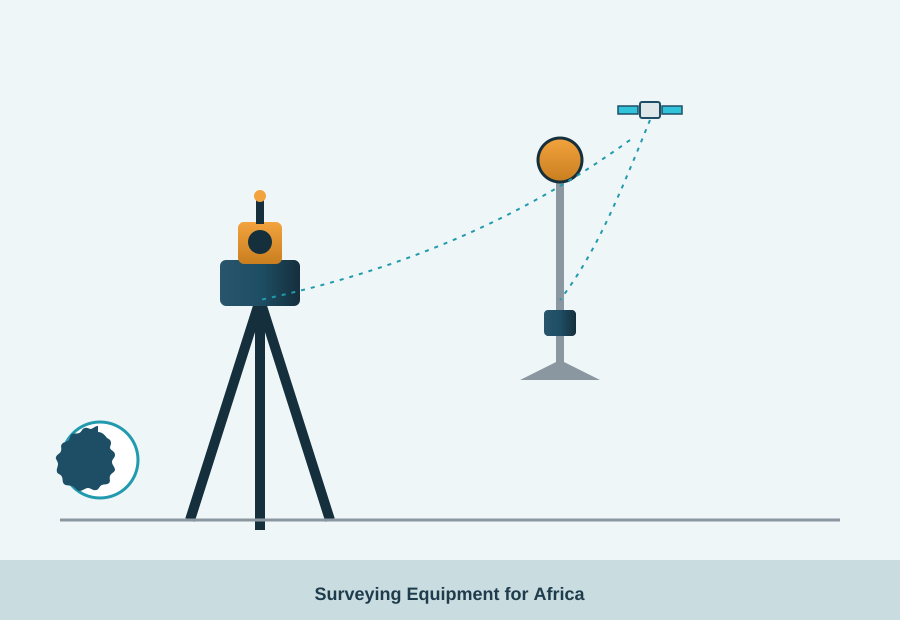
From land subdivision to highway alignment and building setout, accurate surveying equipment is the starting point of almost every construction project in Africa. Choosing the wrong instrument for the job – or one without local support – can cost far more in rework than the equipment itself.
| Task | Instrument |
|---|---|
| Angle & distance measurement, building setout | Total Station (e.g. FTS 300) |
| Large-area topographic & boundary surveys | GPS receiver (e.g. GPS FGS 1) |
| Levelling floors, ceilings & formwork | Rotating laser (e.g. FL 220HV) |
| Vertical alignment of columns & shafts | Laser zenith plummet (e.g. FLP 150) |
| Precise levelling runs | Digital/optical level (e.g. A-Digit 75) |
Full specifications for each instrument are available on our Geo-Fennel Surveying Equipment Africa page, covering total stations, GPS, rotating lasers and levelling equipment supplied and supported across the continent.
Total stations remain the more accurate choice for short-range, high-precision work such as building setout and structural monitoring, and they work reliably without satellite visibility – useful under tree cover or in urban canyons. GPS/GNSS receivers are faster for large-area topographic and boundary surveys where centimetre-level accuracy over long distances matters more than line-of-sight precision. Many surveying teams in Africa run both, using GPS for control points and a total station for detail work.
Surveying instruments are precision optical and electronic devices that drift out of calibration with rough handling, heat and dust – all common on African construction sites. Trio Africa provides construction laser calibration and surveying equipment support as part of our technical services, so instruments stay within tolerance throughout a project.
Tell us the type of survey work and site conditions and we will recommend the right instrument.
Request a Quote

 CONTACT
